I had much I wanted to explore on Saturday – the weather starting was not looking good, and I delayed departure – but, I checked the weather radar map and decided to just jump in BLUE BELLE and go – and go we did for 105 miles. First stop the Windham County biennial history fair in Newfane, Vermont. Yes I still have to write a story about why I seem to always be in Vermont. Also, I needed to finish touring you up the West River Railroad following the first trip on the route I shared with you on 31 July.
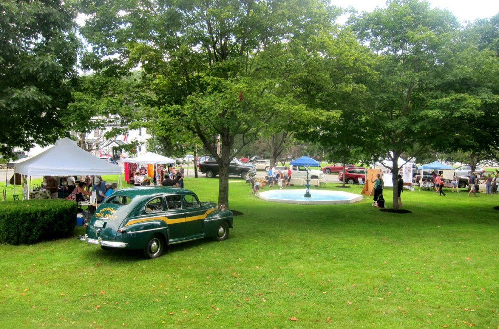
Newfane is a lovely village to visit, and you may enjoy this link for a tour. Nice Common, county seat with court house, train station, general store for a bite to eat, historical society – great place to visit even with nothing going on.
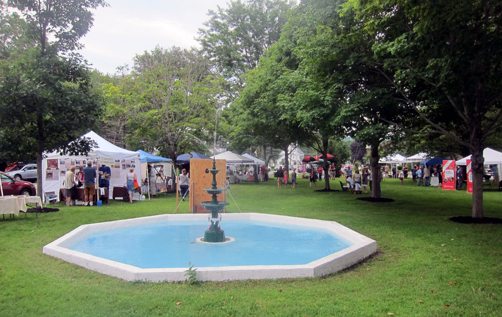
One of the things I decided this morning is that the images with my “older” camera are not exactly what I want compared to my iPhone results. But the iPhone is hard to hold – fingers get in the way. Research this AM, a hand grip hopefully will arrive prior to my next adventure. Below a talk was in progress with the court house in the background.


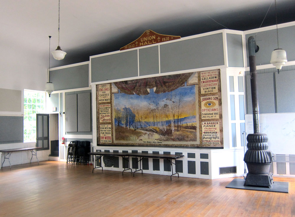
I parked near the Union Hall, built in 1832. Originally a Christian meeting house, after twenty years it was abandoned, then converted to a public hall in 1872. It is now used for meetings, weddings, concerts, movies, auctions, etc.

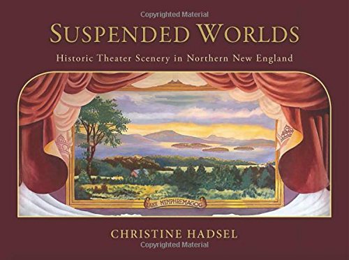
When I walked in Union Hall I was thrilled to experience another hanging painted theater canvas. I first learned of these (and immediately purchased the book – SUSPENDED WORLDS: HISTORIC THEATER SCENERY IN NORTHERN NEW ENGLAND) about six years ago
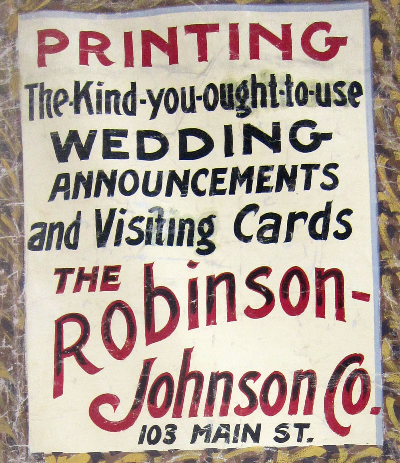
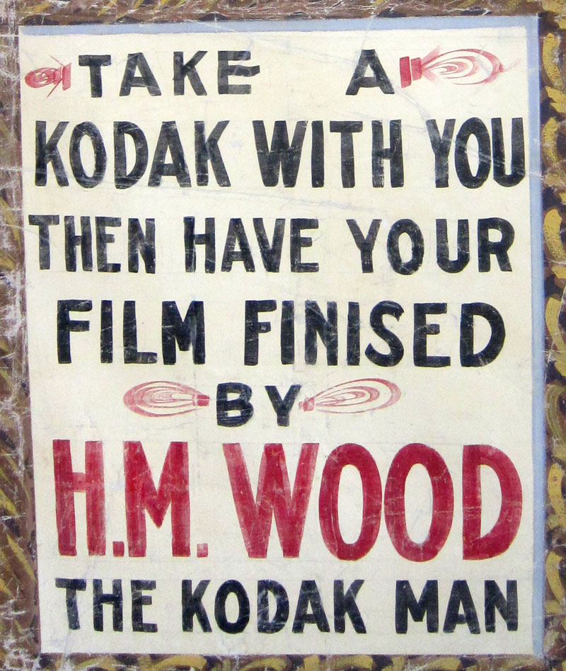
I thought these two advertisements on the curtain deserved close-up views.
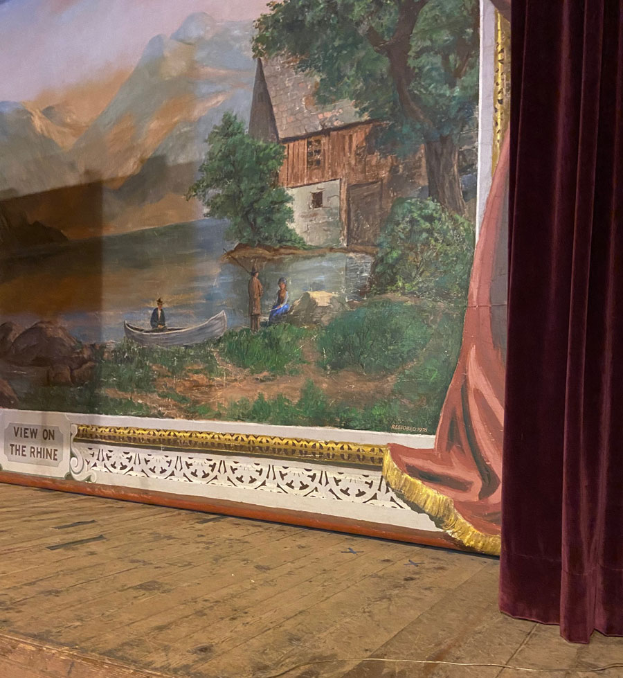
In July I attended a lecture at the original 1860 Town Hall in South Londonderry, Vermont, where I was able to see their canvas, but with the podium and projector screen could not get a full view to share “on film.” This is a “View on the Rhine.”
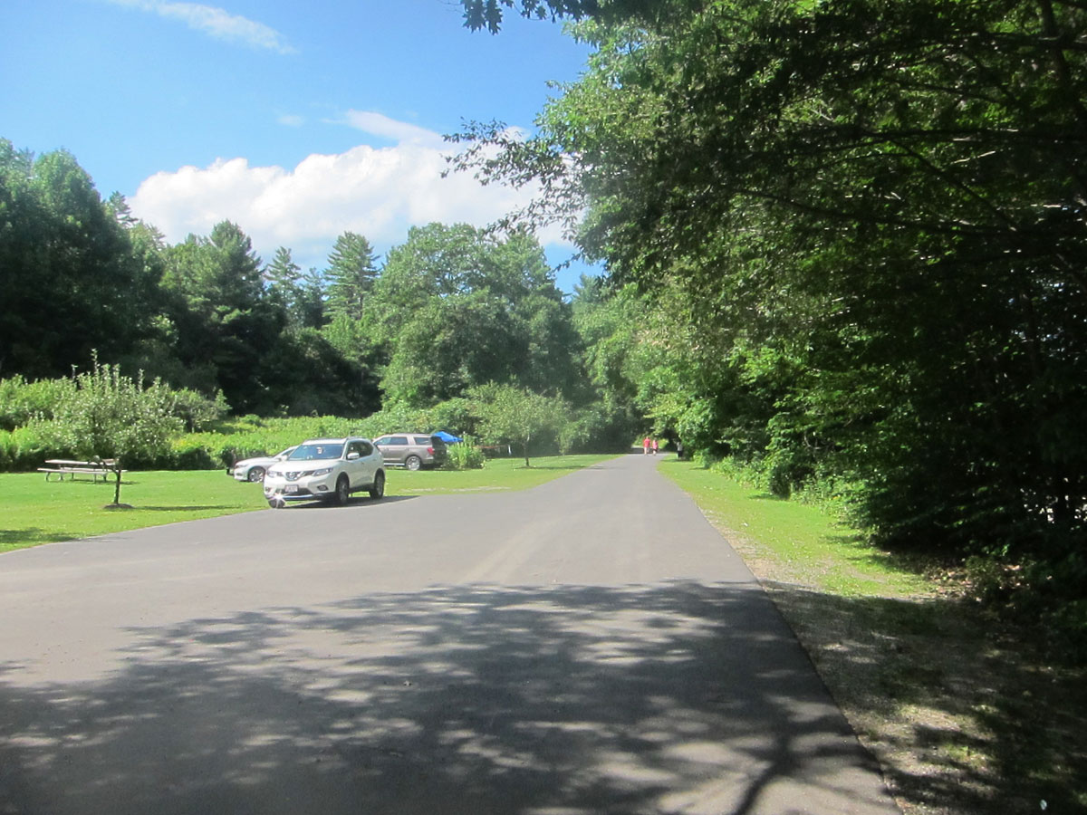
Leaving Newfane I continued north on Route 30, but in a split second decision, before arriving in Harmonyville, turned left on River Road towards the State Forest
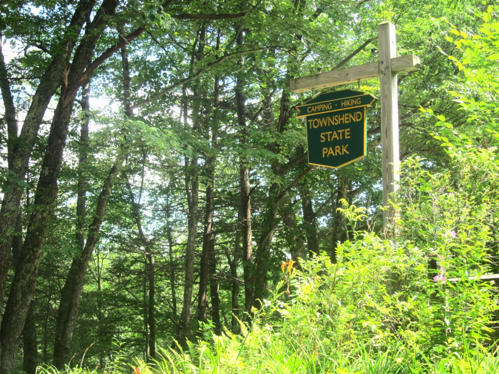
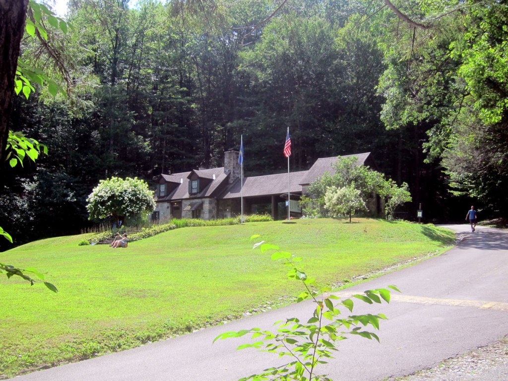
There I chatted with ranger Crystal who confirmed I was on the West River. She said I should continue on towards the Townshend Dam and Lake – which I did, and highly recommend that you do the same.
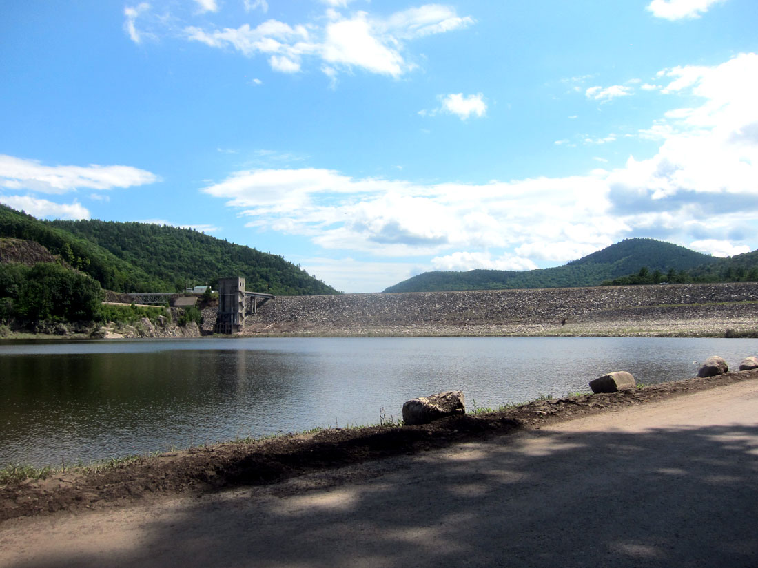
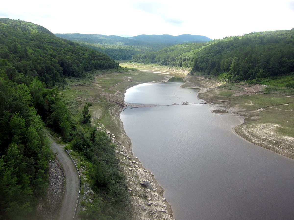
Two dams were built by the Army Corps of Engineers on the West River for flood control. The dam above in 1958-1961, and the Ball Mountain Lake Dam (which you will see later below) built in 1956-1961. The brochures I got on both of these projects have images of the dams filled almost to the top. With the recent rains the road I was on had been underwater, and along side on the bank you can see the silt lines high in the trees along with strewn branches.
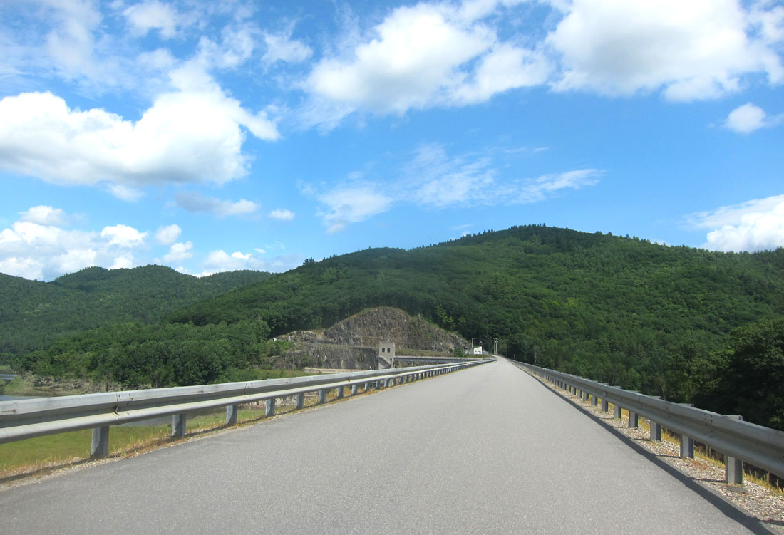
I then crossed the dam back to Route 30
and, looped back south a tad to experience the Harmonyville General Store, and the Largest sycamore tree in Vermont while I enjoyed my sandwich at a table under the tree. “The last time it was measured in 2009, its height was 115 feet, it had an average crown spread of 28 feet, and its circumference at breast height was 16 feet 10 inches a diameter of 5.5 feet.” Do stop so you can also say “I was there.”

While “picnicking” there I chatted with two bikers who were discussing tires and how long they last on their bikes. Surprised at what seemed just a few miles (7,500 to maybe 10,000) I had to join in. I learned that the rubber is softer on motorcycle tires for better grip on the road since they are small. I love learning, and also chatting with “new friends.” One of the fellows told me he was on the Puppy Dog Trail which I subsequently learned is a series of connected dirt roads that take you from the Massachusetts border to the Canadian border, the entire length of the state of Vermont. He said it started in Greenfield, and stops short of the Canadian border, laid out by George Washington who did not want it to reach the British settlements. Good story, we need to learn more, but one website says ” It was put together by the good folks of the BMW Motorcycle Owners of Vermont and revised and updated as recently as 2018. It’s about 90% dirt with just enough asphalt to connect the dirt roads. GPX files and turn-by-turn directions are available here.” Road trip anyone? To get you started, here is 650 THUMPER’S blog.
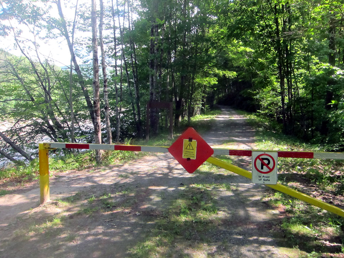
Again I could not find the former station on Depot Road across from the general store, so It was then back north on Route 30 to Jamaica. Again, I could not find the West Townsend station, and I passed by Wardsboro to look for that station at another time (method to that madness). Arriving in Jamaica, I turned right on – of course – Depot St. And, into Jamaica State Park. If my research had been complete, I would have known the tracks ran through here

I was sure I had found the station which is not on the list of the six remaining stations. But this had to be it. Just look at the image complete with a West River Railroad station sign – 24 JAMAICA 12 – 24 miles from Brattleboro and 12 miles to South Londonderry. A park ranger was walking by, and I asked. He said, “no the entrance building was recently built, but the old station is just behind that fence on a drive, you should look there.” I told him the entrance building had a West River Railroad style sign. He asked what the sign meant since people were always asking. He can now share my answer – 24 miles from Brattleboro and 12 miles to South Londonderry. From my collection of information, here is a link to the Vermont State Parks booklet on the railroad going through Jamaica State park – https://vtstateparks.com/assets/pdf/jamaica_36miles.pdf – and the booklet does say where the old station is. I went, talked to the owners, but hard to recognize today comparing to an original photo of the station.
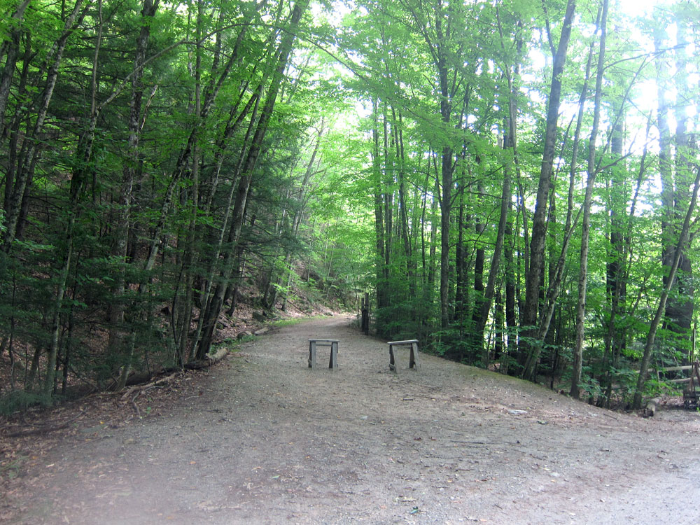
looking to the south from the park entrance, here is the old rail bed, now the West River Trail.
and, looking a tad to the right from above, the bridge on Depot St. over the West River.

Back out to Route 30, I headed north again on a section I may never had been on before. I turned right onto Ball Mountain Lane traveling a distance to the Ball Mountain Lake and the dam. I walked out to the inlet station which is about as high as the 265 foot high dam.

looking to the north you see the old rail bed following the river on the left. Remember, in the booklet on the lake the level has been all the way to the top of the dam in the past – 265 feet – WOW. You must visit these two dams.
and, looking the other way – south – towards Jamaica

and, back to BLUE BELLE patiently waiting.

One more location to find – the no longer extant Winhall Station. Off Route 30 I turned on Goodaleville Road, which on my old map should have (at least once was) Winhall Station Road. Took a chance on next road – wrong, but at the end a nice couple said how to get to Winhall Brook Camping Area, and the area where the railroad was. I arrived there, another Army Corp of Engineers project and facility.
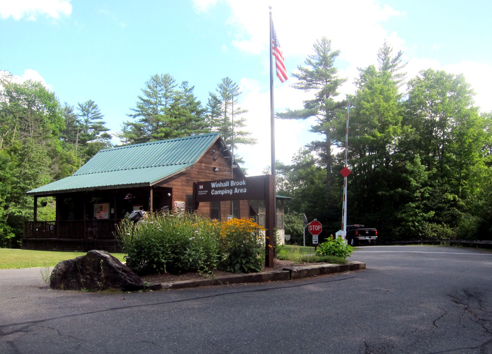
Now this was the greatest stop for me, and again a very helpful couple at the visitor center. I asked if the West River Railroad ran through and where. “Yes it did,” was the reply, “and I have some photos here of what it was like.” He let me copy the three below, and, I was given the map of the campground also. I just had to go down the hill, cross the little bridge over the Winhall River, turn left, and when at the West River turn right. Here is the old photo of that area showing the Winhall River running into the West River.
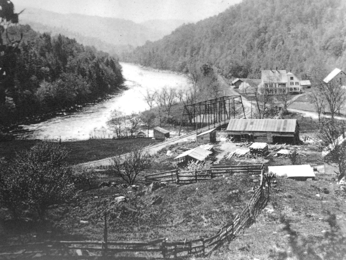
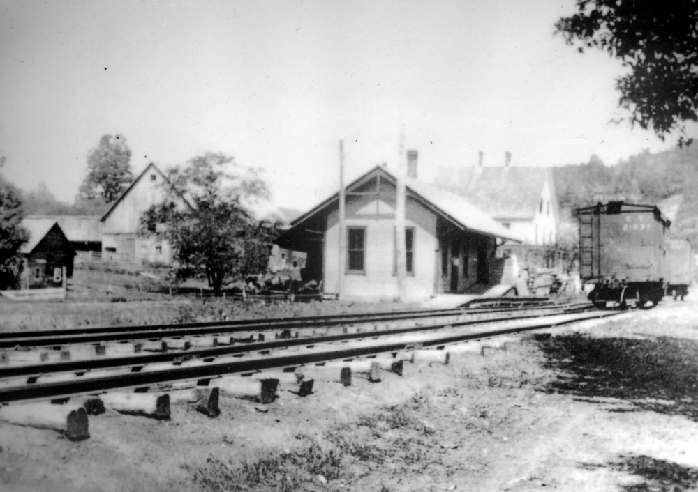
the bridge (no longer there) crosses the Winhall River, and on the rail bed you can see the station just past the large home which served as a hotel. Here is the station, with the hotel in the background.
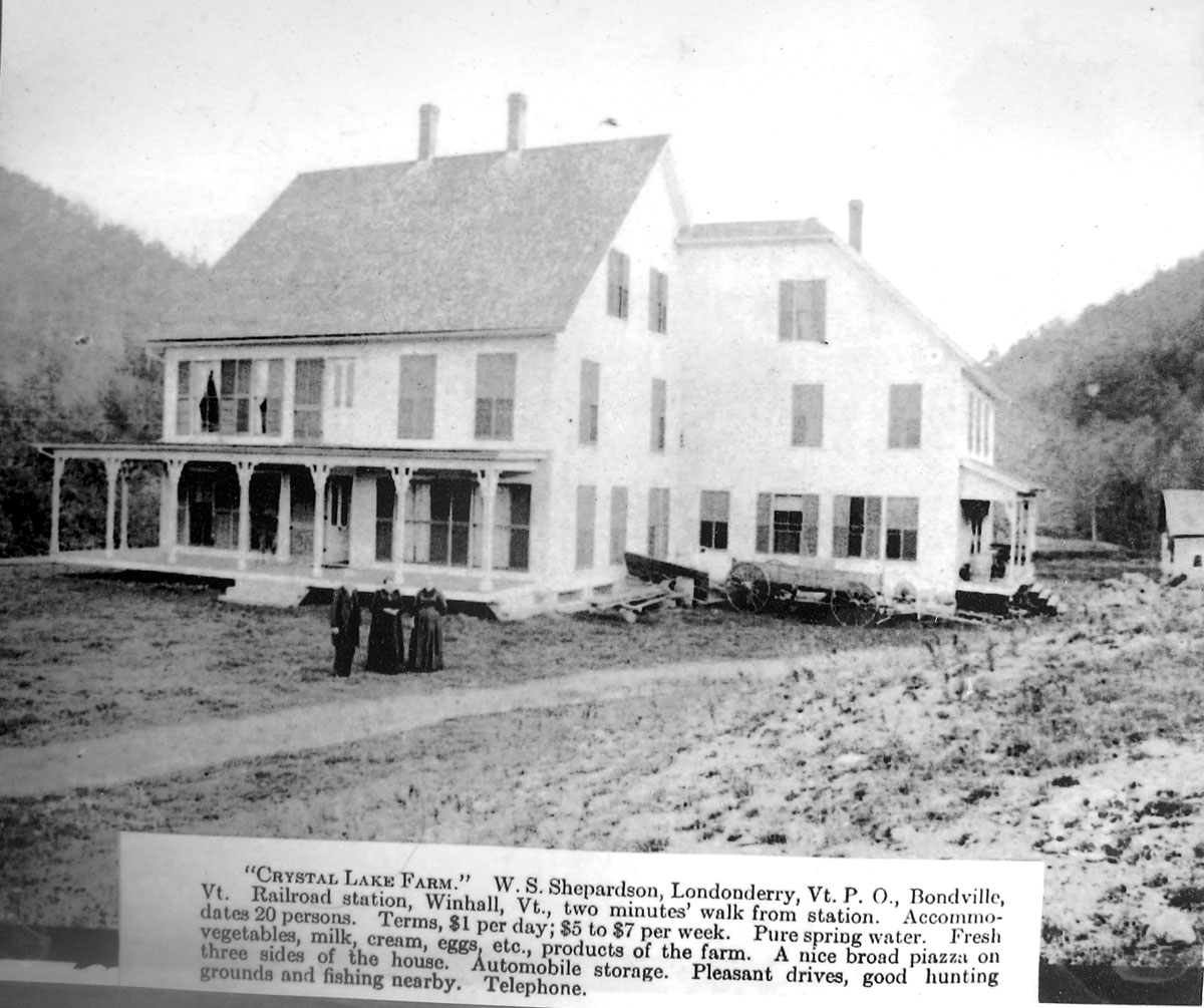
and the hotel structure itself.
the open area you see in the first image above is still open for camping now. As the forest closes back in the West River Trail continues.

turning around, in the field would have been the station and hotel.
and, a closeup of the beginning of the trail continuing on to South Londonderry with the West River to the left.
this stop was great, and in my research I am showing you what other websites documenting the West River Railroad, particularly in Winhall, have not before shown. I would love to go back and camp, in fact in any of the camping spots I saw and toured on this excursion
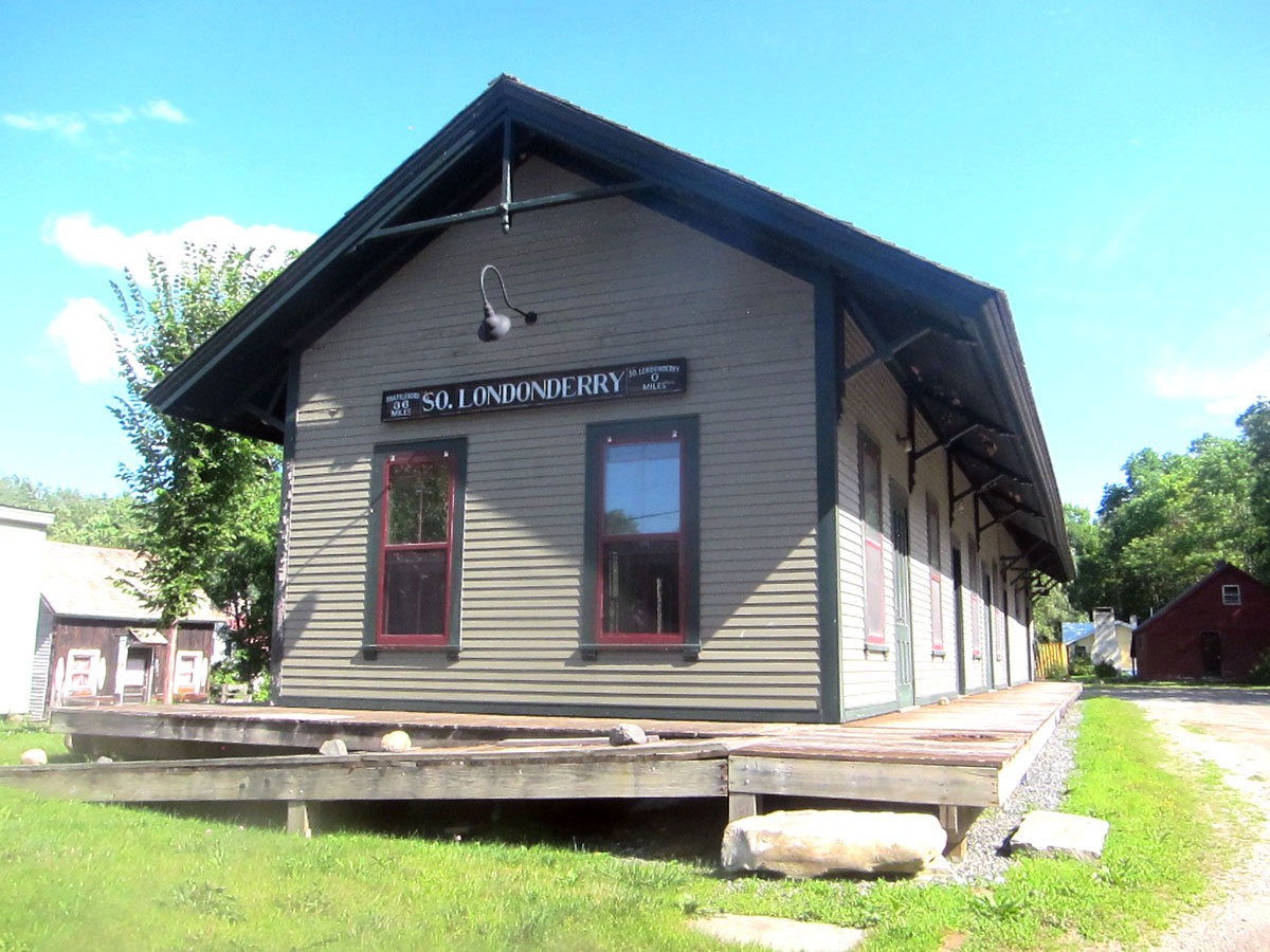
Next stop, the end of the line and the South Londonderry station.
RAY RECOMMENDS:
1 – Learn what you can of the West River Railroad and the history of this area
2 – Pull off Route 30 and tour the Townshend State Forest, and travel up to the Townshend Dam and cross it
3 – Pull off Route 30 and find the old station next to the Jamaica State Park on the West River
4 – Pull off Route 30 and experience the Ball Mountain Lake and Dam
5 – Stop at the Harmonyville General Store
6 – And, when done, do it again – ENJOY


That trip is right up our alley, Ray! Rail trails, state parks and camping!
Thanks for sharing!