In August 2023 I took you to two country fairs: HARWICK, MASSACHUSETTS (self-proclaimed oldest fair in the US) and the CORNISH FAIR. This is “Fair Season” they all come at once it seems, and you cannot get to them all — but you can visit many over the years. Today I headed back to Guilford, Vermont, for the fair – and that report is below. You can still get there tomorrow, Labor Day, but also look at my list below of other fairs you may experience this coming month — you will not be disappointed.
This outing had a second purpose – to again swing through the four “Villages of Guilford Vermont” (make sure to open and read my PDF linked below) – AND to visit an Inn “on my list” and where I now have dinner reservations with a friend — wonderful place, and you are excused if you wish to jump to the end to read my report of the GREEN RIVER BRIDGE INN.
First a partial list of fairs coming up, links to them, and links to my past visits — and below The 80th Guilford Fair 2025.
Andover, New Hampshire – August each year — here is report on my trip 2024
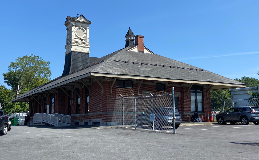
https://shunpikingwithray.com/2024/07/01/potter-place-and-ice-house-museum-29-june-2024/
The 162nd Woodstock Fair – August 28-Sept 1, 2025
in South Woodstock, Connecticut – https://www.woodstockfair.com/
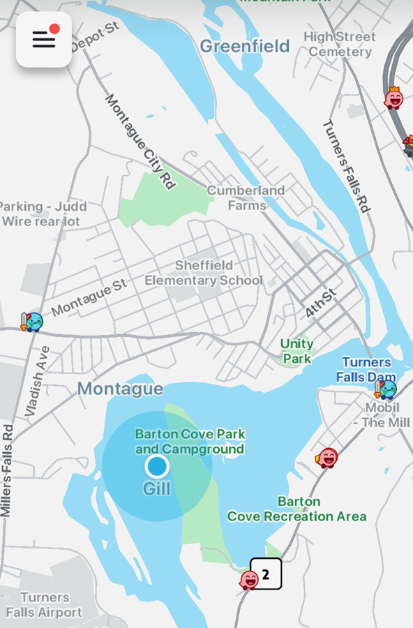
Guilford, Vermont – August 31-September 1, 2025
My visit in 2021 – https://shunpikingwithray.com/2021/09/05/guilford-vermont-and-guilford-fair-5-september-2021/
Hopkinton, NH Fair –Aug 28 to Sept 1, 2025
https://www.hsfair.org/
Greenfield, Massachusetts – September 4-7, 2025
going for the first time this year – https://fcas.com/
Tunbridge World’s Fair – September 11-14, 2025
https://www.tunbridgeworldsfair.com/
my visits in 2021- https://shunpikingwithray.com/2021/09/17/149th-tunbridge-worlds-fair-september-16-17-18-and-19-2021/
And 2015 – https://shunpikingwithray.com/2015/09/18/144th-tunbridge-worlds-fair-17-september-2015-tunbridge-vermont/
Langdon, NH – September 20, 2025 — https://www.langdonnh.org/home/events/2541
My visit in 2023 – https://shunpikingwithray.com/2023/09/16/langdon-new-hampshire-festival-16-september-2023/
Peru, Vermont – September 27, 2025 — http://www.perufair.org/
my visit in 2018 — https://shunpikingwithray.com/2018/09/23/fair-farm-festival-and-a-find-vermont-22-september-2018/
The BIG E – Springfield, Massachusetts – September 12 to 28, 2025
https://www.thebige.com/
My visit in 2023 – https://shunpikingwithray.com/2023/09/26/the-big-e-eastern-states-exposition-22-september-2023/

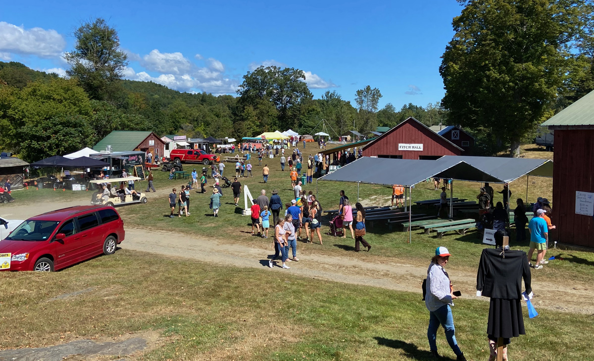
There is something extremely comfortable about attending an event, such as today’s 80th Guilford Vermont Fair, that is basically the same as what you experienced in the past, particularly if you enjoyed it. Today was no exception – layout the same, events the same, interesting exhibits basically the same, and a small manageable size. As I get older (in a few weeks I will be closer to my next age than the last – do not ask how many decades – well, I will answer since I “look good” but remember the toll three back operations can take. The next image gives you an overview of the main grounds.
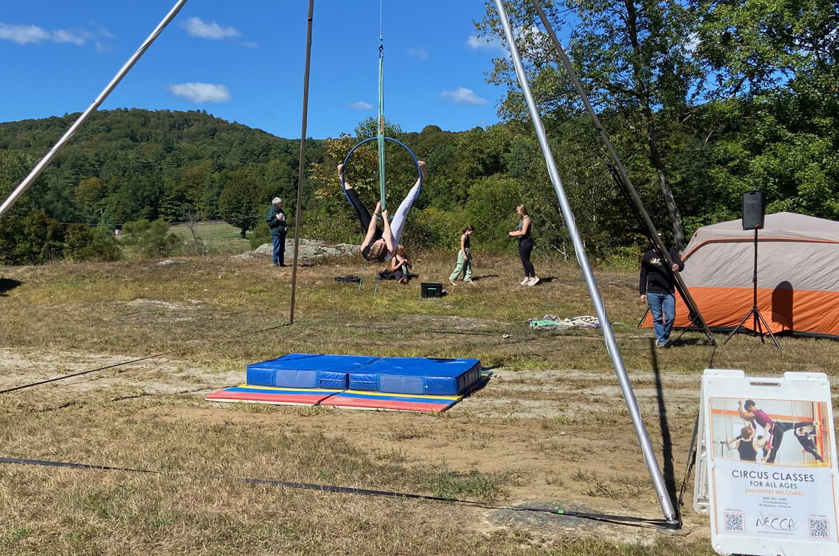
I started at the OX PULL (left) – I do not understand all the rules, but this team pulled about 8,000 pounds – I left before winner announced. And to the right, again circus acts put on by students from a circus school in Brattleboro. Remember you may “click” my galleries for larger views.

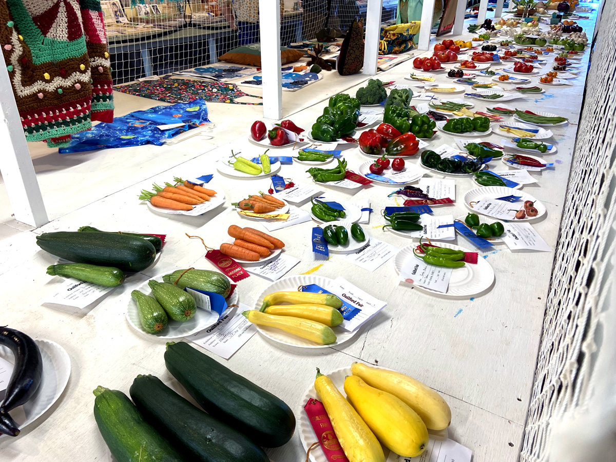
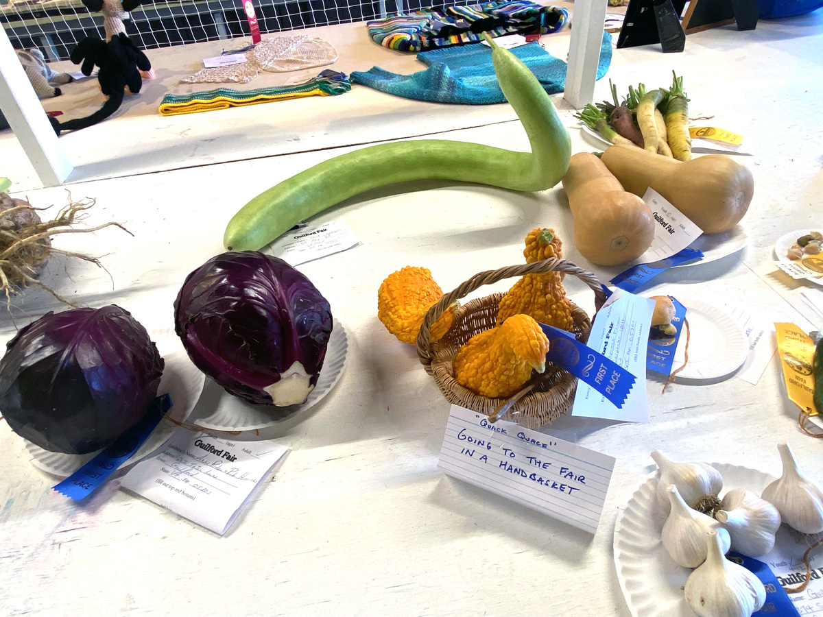
I love this exhibit hall for the judging of crafts and veggies. I should have entered the zucchini I grew this year. Hey, if you need any zucchini, I still have some available – $1 each (I pay you).
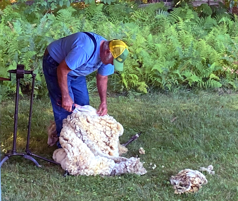
This fellow I have enjoyed so many times before, particularly at Calvin Coolidge’s homestead at Plymouth Notch where he tours you in his wagon – quite the raconteur. Every year here he gives a sheep searing demonstration – but I found it hard to see the sheep.
Did I say sameness is a plus? Again an “outhouse expert” had an exhibit, and was entertaining listeners of all ages. Note in this small outhouse the small corn husks — you should know the purpose those husks serve. It appears this outhouse was in Kansas (hope you see why).

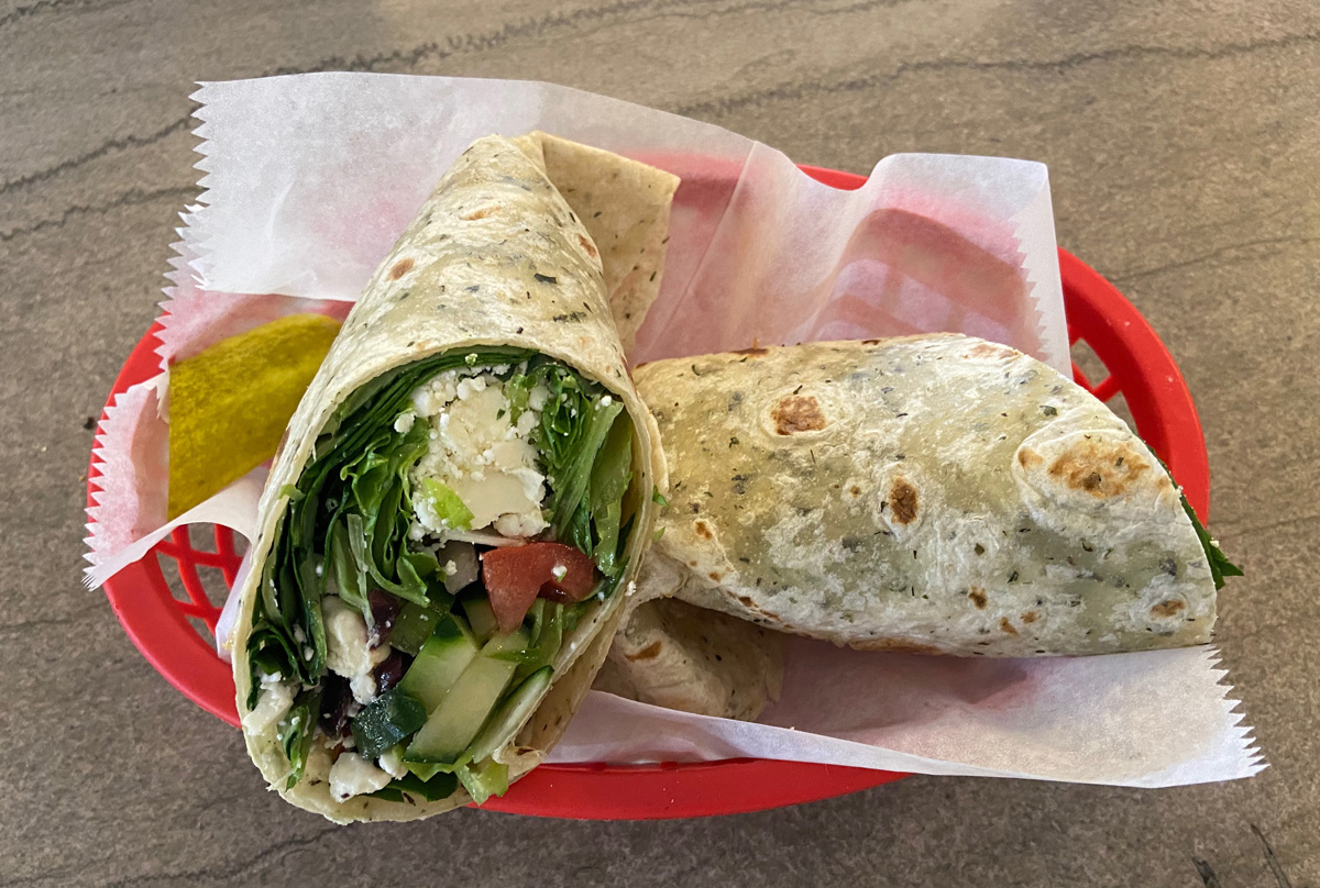
and the food at a “real” country fair is always a treat and special. The local fire fighters have a food concession as a benefit. Now, how can you beat the meal below for $15 – particularly when going to a good cause?

I am “not proud” and wish to be careful on uneven ground, even with my walking stick. Yes, with my back and arthritis issues I have had a few falls, so I availed myself of the golf cart service from and to the parking field. Heading out I sit in the cart, and fellow turns to me, “don’t tell me, you are Ray Boas.” I just love “small world.” Well, I met Chuck C. a few years back when exploring fascinating Guilford. I went up his drive (thinking it a road) to where I thought the old summer resort with spring house was. Yes, Chuck now owns the amazing property. We have emailed, and he hosts various events on his property — I need to get back there. I told Chuck I was heading to the Green River section of the town, and he said, “yes there is new management I understand at the Inn.”
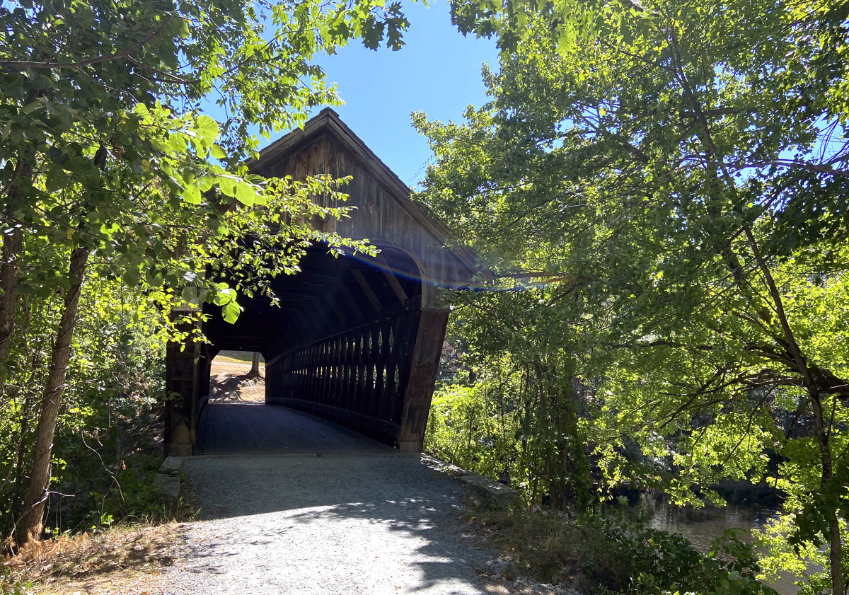
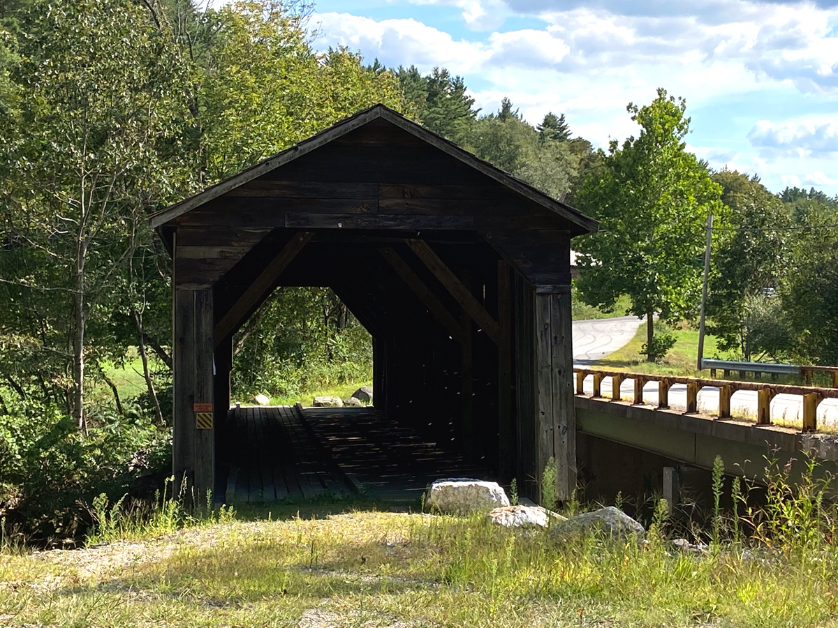
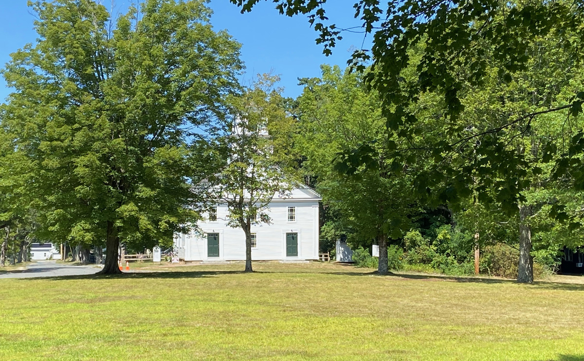
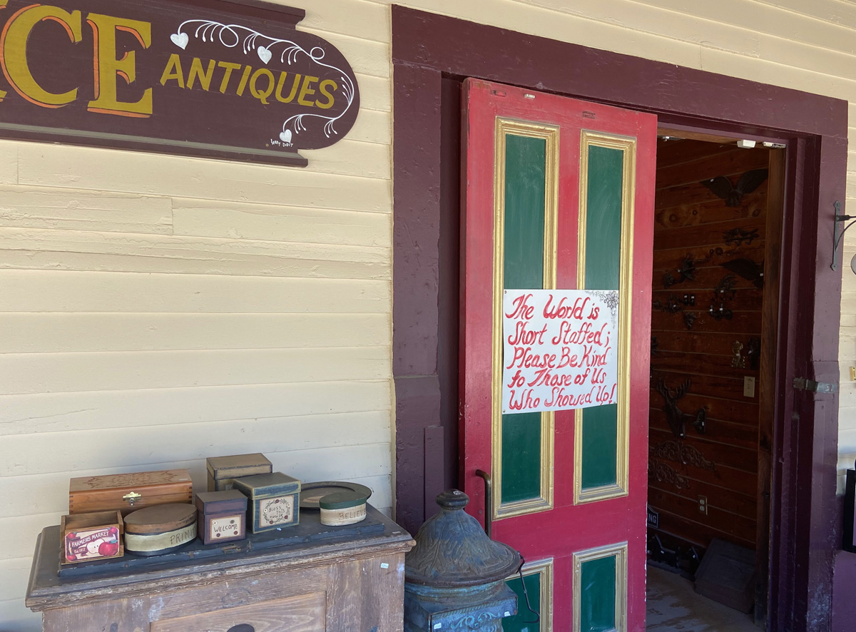
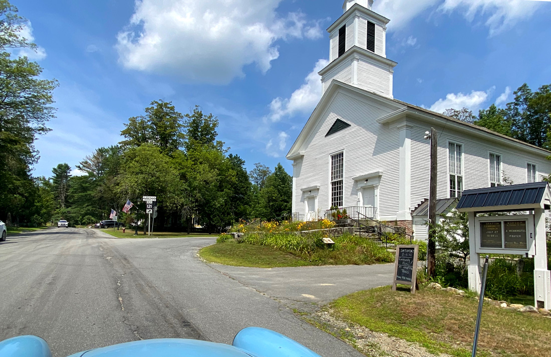
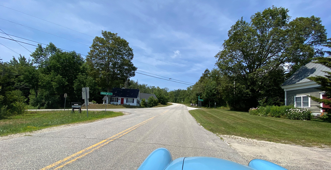
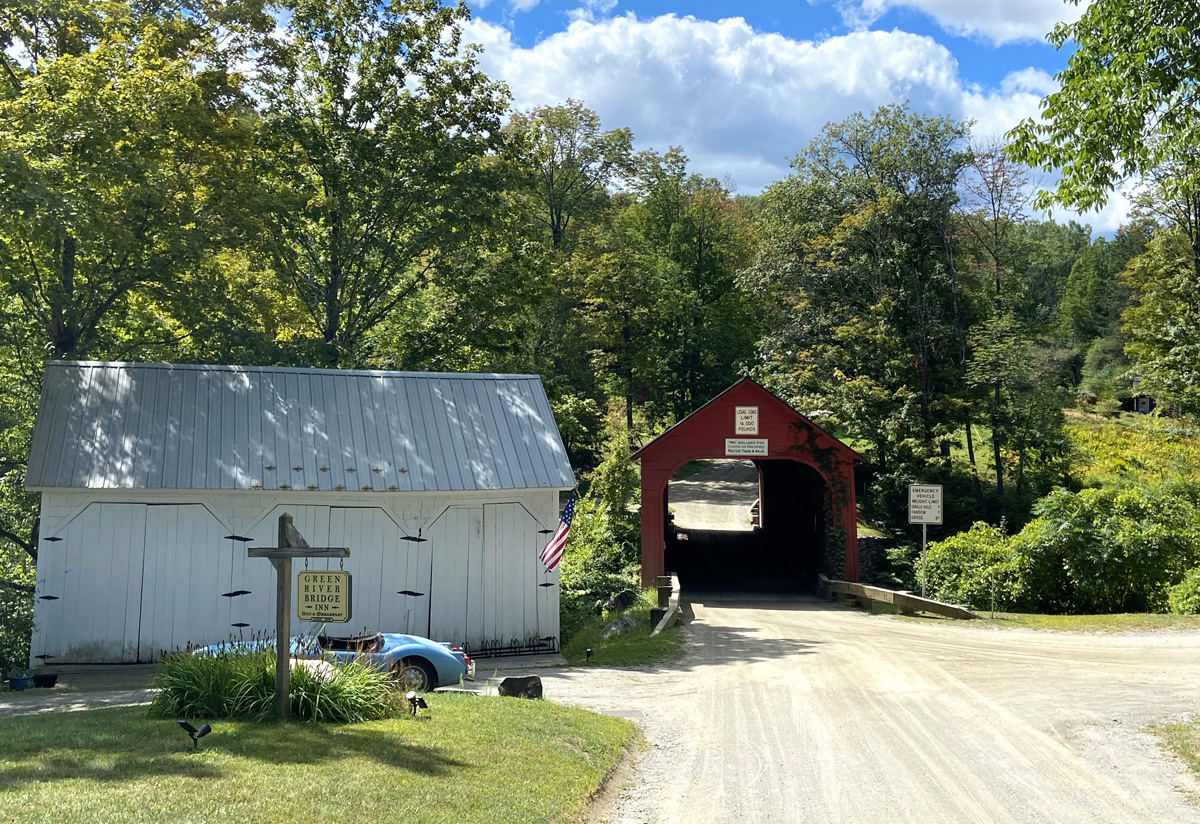
Well — GUILFORD, VERMONT – one of Vermont’s earliest settlements – has four historic geographic regions. In my extensive history archives I recently rediscovered my brochure of THE VILLAGES OF GILFORD, VERMONT. Click my link on the preceding title for the PDF I made of that brochure, and head down to this idyllic area, and “fall in love.” Remember not only do I love Covered Bridges, but relish “dirt roads.”
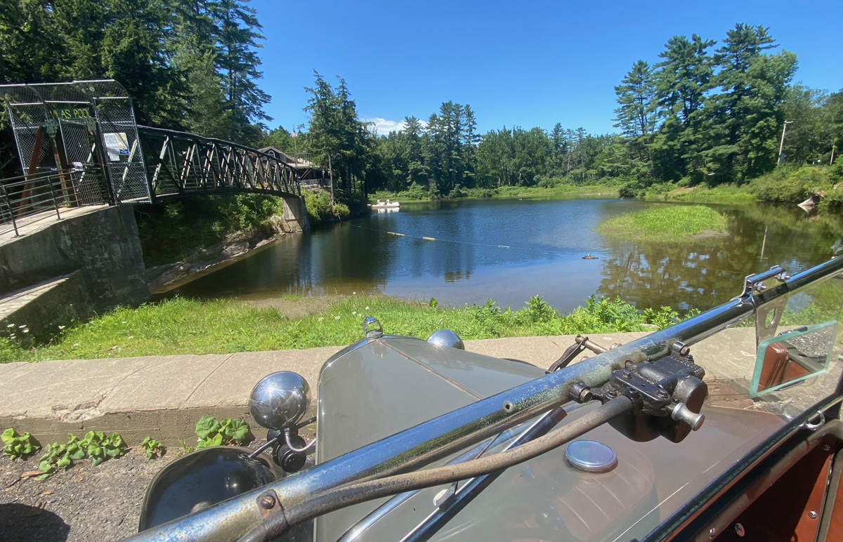
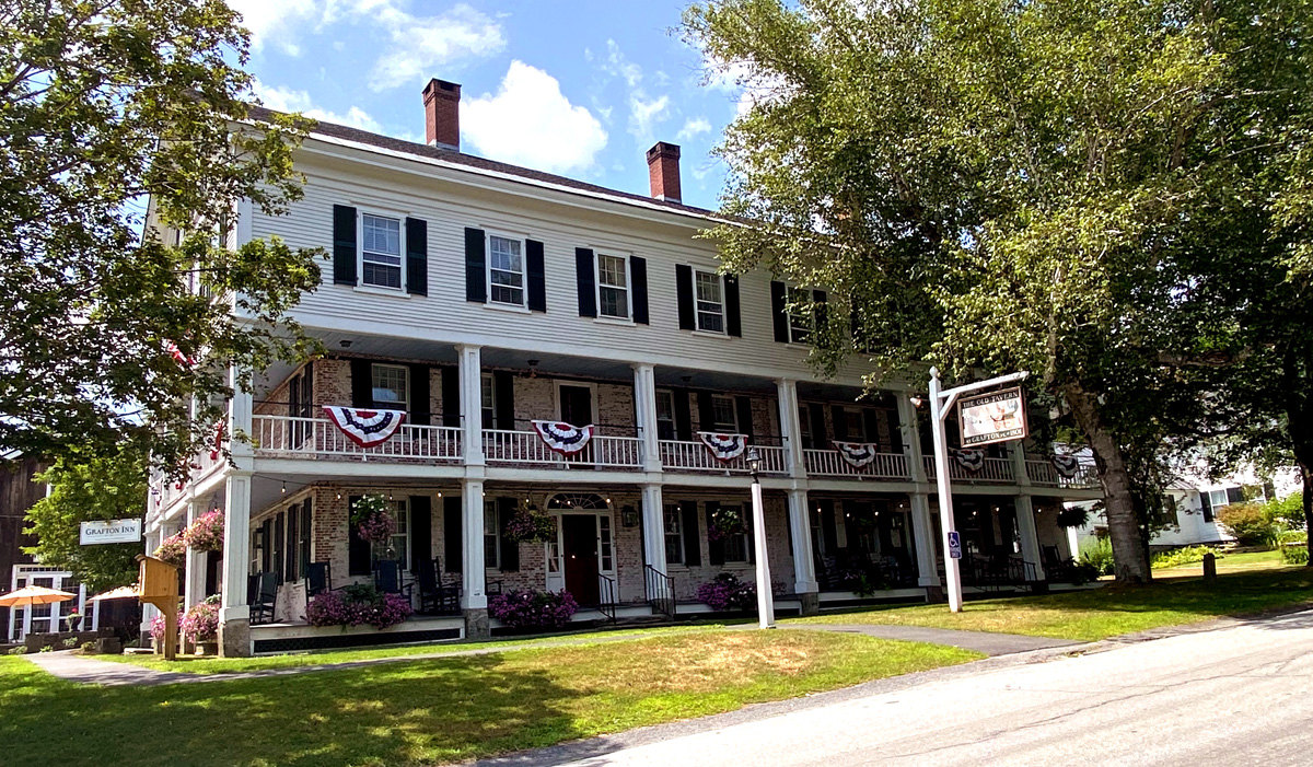
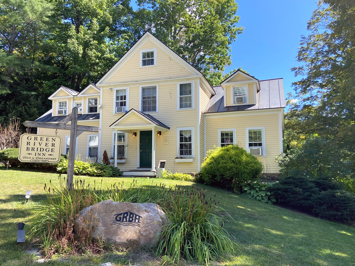
Now for the treat — worth waiting for if you did not jump down here first – THE GREEN RIVER BRIDGE INN. For a number of years I have enjoyed coming to this relatively isolated (but close) spot just to see it, picnic, or dream. I had heard the Inn had reopened and with a restaurant – I had to see for myself. I parked BLUE BELLE.
and we (well, I) headed up to the front door…
Mike greeted me at the door, and invited me in. He toured me through the downstairs with the dining room and bar area.


and looking out to the yard and river

Mike took me upstairs to see some rooms. Below is the “bridal suite” and view off the small deck.


I then sat and visited with Dave (chef extraordinaire) and Mike. Since starting to experience Inns and B&Bs with my late and dear Cathy starting 30 years ago, I will say that this is one of my top experiences visiting with the owner or operators of an old historic Inn or B&B.
I have dinner reservations now in two weeks, and I can see winter getaways here to read and write.
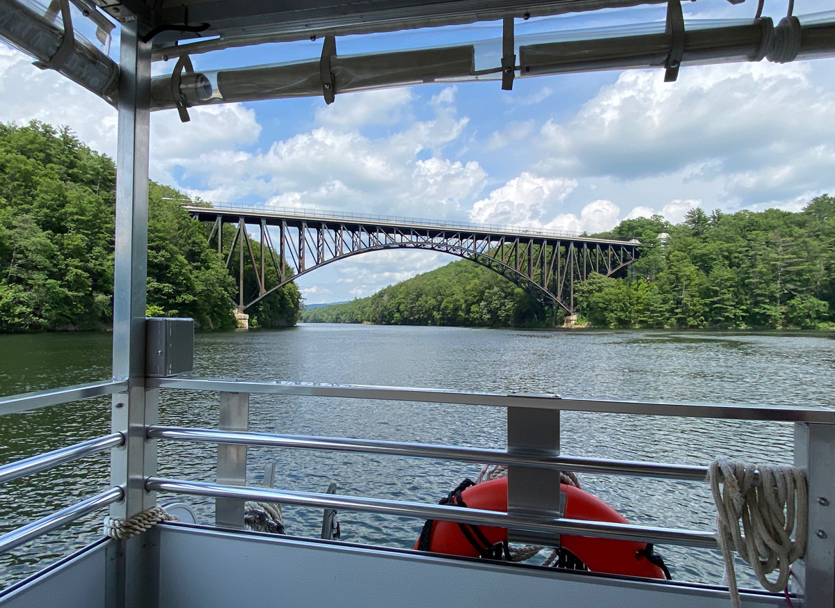
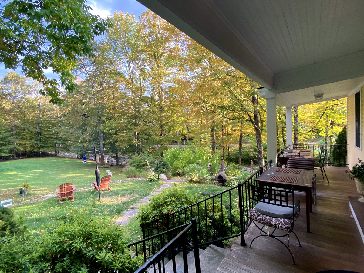
And, now I can report on my exemplary dinner and visit Thursday evening, September 11. First below is walking out onto the porch looking down at the sprawling yard and Green River. When I was here before a local couple was having brunch, so I did not venture all the way out.
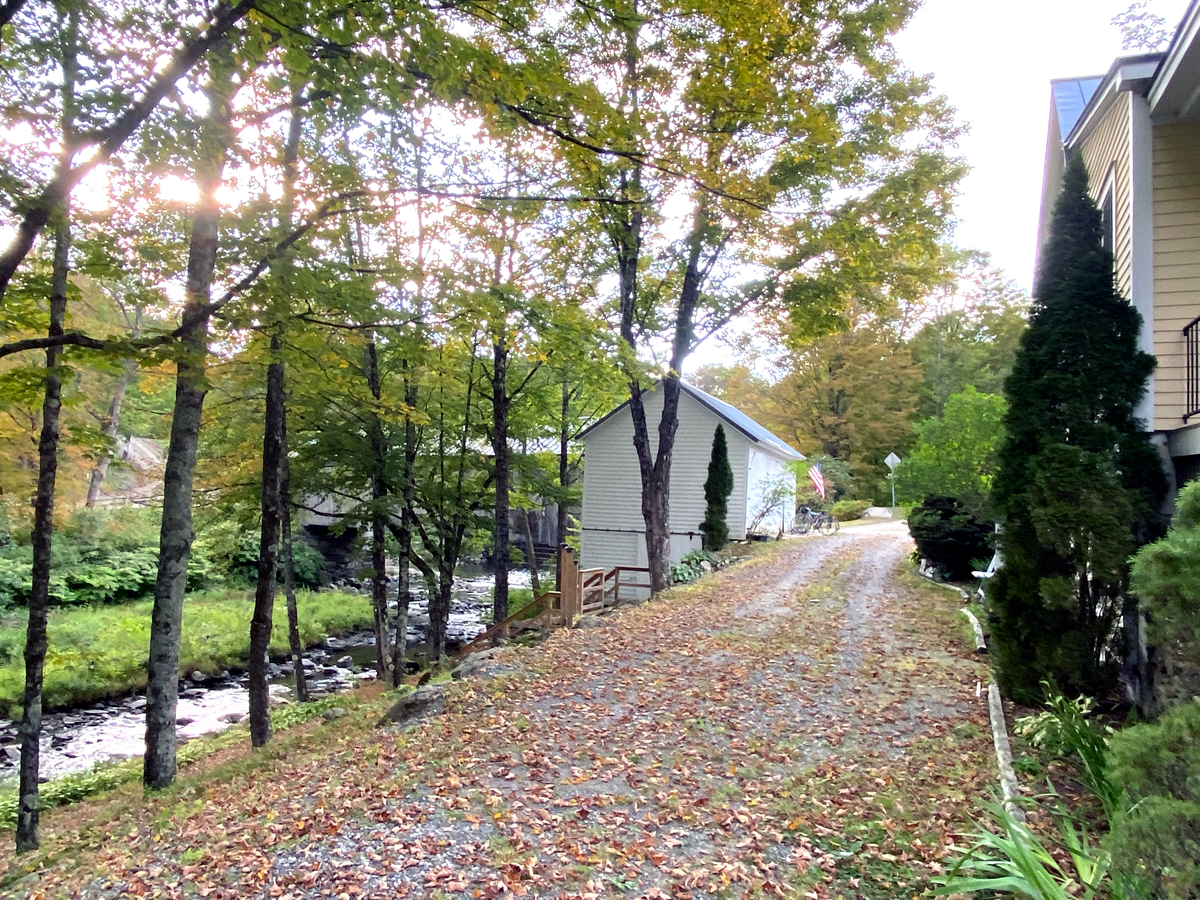
walking down the steps, and below left looking back to the Covered Bridge behind the Inn’s barn. Mail boxes for area residents are no longer on the bridge, but posted there are notices for area events and town meetings – one as recent as announcing a Town meeting just days away. To the right, walking back up to the Inn. (remember you may click my galleries – and single images – for larger views).
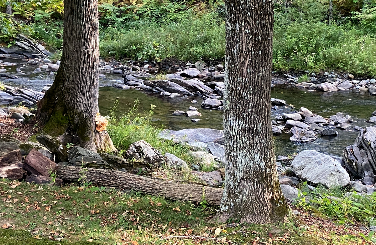
Please note the tree on the left along the river, and if I recall the correct name, growing on the right side of the trunk is a Chicken of the Woods mushroom. From the Inn’s website, they state – “… features farm-fresh, locally-sourced…” Foods. kinda local and kinda fresh, you will again see the morning’s harvest from here on my plate.
moving into dinner – an inviting place setting just waiting…

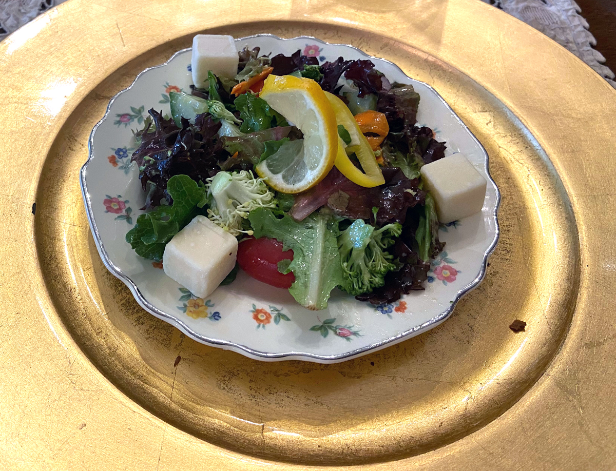
for the four course Prix Fixe meal, top to bottom, left to right: the mushrooms tasting almost like steak; salad; amazing salmon (trust not local from the Green River just outside) with amazing flavors; and finally freshly made (in kitchen behind where I sat) amazing cheese cake. My apologies to Dave, the chef, as my lighting and conflict with gold charger threw off the amazing colors in his presentation.


A couple staying at the Inn, following a bike journey up from Greenfield, MA, joined us for dinner, and interesting conversation. Dave joined in later on as did Mike after he visited with a local couple that stopped into the bar. So two reasons to visit: the EXPERIENCE and SURROUNDINGS, and the AMAZING MEAL I will return, thank you.
RAY RECOMMENDS
1 — Check out some local Vermont or New Hampshire country fairs – “too much fun”
2 — Check out the THE GREEN RIVER BRIDGE INN — without even having eating or stayed here, I highly recommend based upon the “vibes” I received from Dave and Mike — I will report on my dinner there.
Stay safe and well, luv, RAY