BLUE BELLE had not been out for awhile, I knew that. Usually the winter naps BB1 and BB2 are from mid-November to early April, but sadly BBI (BLACK BEAUTY) has not been out in over two years, and time got away from me, and BLUE BELLE (BB2) had been napping nine months. It is the lack of an easily bending spine keeping me out of them, but Saturday the 27th it was time to slide into BLUE BELLE again – she is easier to get in and out of as compared to BLACK BEAUTY, and all went well sliding in, and, I indeed got out. She started right up, and we toured together up into the hills and back. Time for a real journey and new exploration on Sunday the 28th.
In my last October 2023 post with BLUE BELLE I explained that some of our explorations come from Facebook stories. I also receive daily many emails of events in Vermont, and around New England. In May one of those emails directed me to Vermont Vacation’s 7 SEASONAL SCENIC DRIVES IN VERMONT – and I headed to that page and printed it out.
Here are those drives in that article — I had been on three of them, but not Putney Mountain Road, which, just minutes away, became today’s objective:
1 – Smugglers Notch, Scenic Route 108 – Stowe and Cambridge.
drove through 15 August 2019 on the way to Three Pines
2 – Hazen’s Notch Road – Westfield and Montgomery.
3 – Appalachian Gap – Buel’s Gore
4 – Lincoln Gap Road – Lincoln and Warren
traversed in July 2021
5 – Putney Mountain Road – Newfane. — TODAY’S JOURNEY
6 – Kelley Stand Road – Sunderland to Stratton.
love this drive – been through: 2013 and 2019
7 – Waterville Mountain Road – Bakersfield and Waterville.
BB2 and I cut over the hills to Westminster West Road, which runs from Saxton’s River to Putney, to turn left toward Putney (you can come in from US Route 5). But first we turned right and visited a friend in West West (next to the barn where I found BB2 twelve years ago). After visiting we then headed to Putney turning right on West Hill Road.

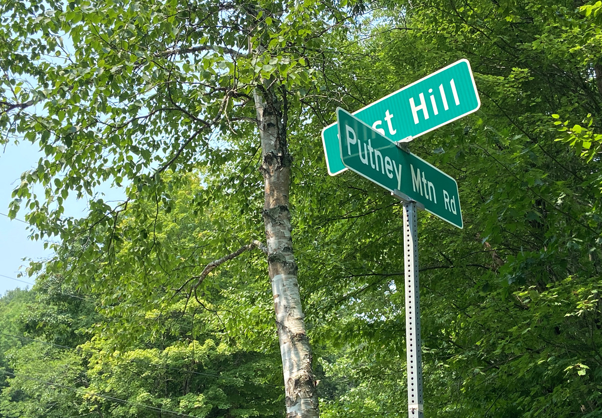
You pass the Putney School and soon come to Putney Mountain Road on the right (you can get larger images clicking my galleries):

we got started – surprised other cars coming down towards us — wonderful dirt road, wide for two cars with caution, and nicely wooded.

yes, basically wooded, I gather from my reading that you get views from the hiking trails. Below is the entrance to the trail head, and several hikers vehicles.


The descent starts just after the trailhead pull-off. A big change from the climb up, probably since this section is closed October to June — narrower, steep decline, and big drop offs. I stayed in second gear and on and off my brake pedal.

underway — hard with an image to convey the descent properly

also hard to get a feel from a picture of the steep drop to the right.

this was fun — narrow, steep, but a great dirt road. Alas, all good things come to an end, even dirt. Pavement showed up and some houses, Newfane civilization no doubt. Even a farm with cattle enjoying the solitude.
Putney Mountain Road ends at this intersection with Grassy Brook Road where it bends. Going straight onto Grassy Brook Road heads off to Brookline and Athens (VT that is). In June 2017, I shared with you THE ONLY ROUND SCHOOLHOUSE IN THE US which is on this route in Brookline. An interesting tale about this building you may wish to read – click the link above, and scroll down the post.
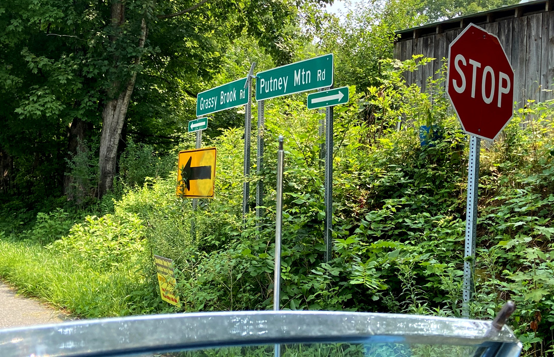
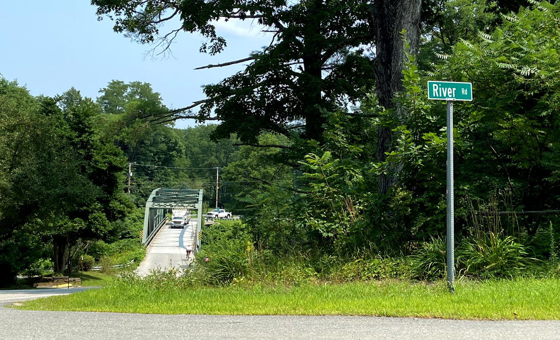
But today, I turned left at the stop sign above towards VT 30. But just after crossing the West River I turned left onto River Road. Had to see it (and you should also) since I had not been on it before. Eventually the road brings you back to VT 30 below Newfane.
I swung back up to Newfane, and at the Newfane Store ordered, and enjoyed an Avocado Wrap — WOW, now I am on a quest to learn all things avocado and what I can make – hard to choose among the many cookbooks I see – guess I just buy a half dozen or so. UPDATE Absolutely Avocados on order, starting slowly.

Back down VT 30 to the Dummerston covered bridge, but first to check the shop across the street. Remember I mentioned the farm with cattle at the end of the road? It was on a curve with a sign ‘”Caution – Cows Often in Road.” Well, there in the shop, on the wall, were some “Humane Trophies” made in Brattleboro — mounted heads, etc. One mounted trophy was labeled “Putney Mountain Road Heifer.” I wonder, preserved “Road Kill?”
Then we crossed the bridge, up the hill to Dummerston Center, right turn down Middle Road (passing Kipling Road, of course), to US5. Crossing the Connecticut River on Route 9, back roads around Spofford Lake to the quaint but sadly almost abandoned buildings in Spofford village, then Spofford Road, which becomes Westmoreland Road, arriving there on Route 63. And, then home.
I have given you enough route details here for a fun four plus hour exploration of about 70 miles (about 116 KM in British-Speak – remember BLUE BELLE’s heritage). Have fun, and maybe add in a hike on the mountain, and/or a picnic and swim at one of two popular spots in the West River with parking on VT 30. Enjoy, luv, RAY